Topographic Surveys – Tree Location and Site Conditions Surveys for Engineering Design and Permits.
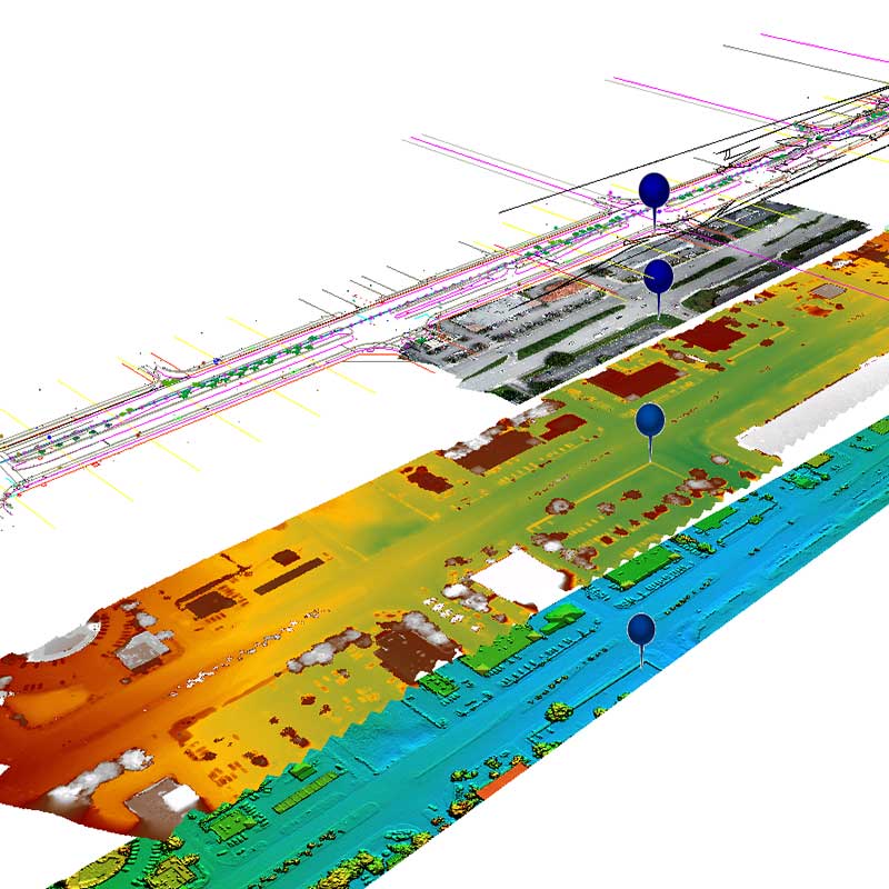
In today’s environment where so much data is available, survey grade – accurate data is essential for quality engineering and architectural designs. We have the capability and the expertise to collect geospatial data from which information can be extracted in order to proper plan your next project.
We have completed miles of topographic route surveys for water, wastewater, drainage, oil, gas piping, and utility infrastructure design. We have determined grades and elevations not only of existing utilities at predetermined crossections, but of hundreds of acres of land for new development. Not only we prepare the right survey, set alignment and collect the topographical features, but we are familiar with regulatory agencies and municipal guidelines and keep up-to-date with permitting requirements.
Our operations are fully digital and cloud based, therefore we can submit our products electronically to any agency. For those clients that still require paper hard copies, we still prepare and deliver it free of charge.