Hydrographic, Topo-bathymetric Surveys.
Our hydrographic/bathymetric surveying capabilities include canal crossings, retention pond as builts, mean high water line surveys, marina surveys, creation of legal descriptions for boat slips and vertical plane water parcels, bridge piles layouts, etc.
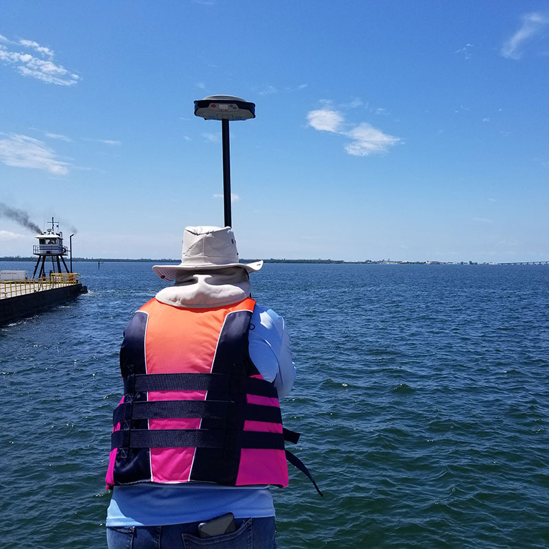
Bathymetric Surveys allow us to measure the depth of a water body and to map the underwater feature. Our coastal mappers understand the complexity of tides, and how tides relate and impact upland development. We can work with FEMA’s and NOA’s tidal data, and determine tidal information in NAVD’88 and any other project datum.
Of ultimate importance is determining canal and bodies of water boundaries and ownership, which is critical in determining jurisdictional permit requirements.