Frequently Asked Questions
Feel free to browse our Frequently Asked Questions, where we cover important information related to our land surveying services.
Yes. A Mortgage-Title Survey is the same as a Boundary Survey. In the State of Florida it must be perform in compliance with same standards of quality and accuracy than a Boundary Survey and under the direct supervision of a Florida registered Professional Land Surveyor and Mapper.
Yes. We perform boundary surveys conforming with these nationally accepted rigorous standards. We will work with title insurance underwriters and closing agents to choose the appropriate standard details and the optional survey specifications required in order to insure title to land.
Yes. We will precisely determine the hazard flood zone designed by FEMA for the area where your property is located. Depending on your specific situation you may also need a letter of map amendment (LOMA) or map revision (LOMR) to remove you from the requirement of flood insurance. We can assist you in that process.
Yes. All of our survey maps and products are GIS (Global Positioning Systems) – compatible.
Yes. We are an excellent choice for teaming. The surveying and mapping services that we provide are tailored to support the design of underground utilities (water-sewage collection-drainage-electric-gas-telecommunication) and of transportation infrastructure improvements (highways, railroads and roadways). In addition to the horizontal/vertical controls provided and topographic features we will investigate and examine title/ownership records to ensure that projects are design within the proper boundaries and jurisdictions.
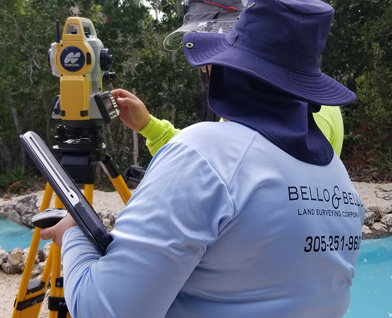
Yes. Once designs are approved, permits are pulled and construction kicks off, we can provide the on-site construction lay-out services including but not limited to control establishment, improvement stake-out, elevations set, partial constructed report preparation and certified Record Surveys, As-Builts and Finals.
Yes. Once the survey is completed we will provide you with a digital copy of the survey.
It depends on the weather conditions and other variable factors such as the type of survey, size of the property, availability of ground controls and access issues. Once an order is placed we will be able to give you an estimate based on our past experience of projects in the same area.
We are registered to perform professional services in the entire state of Florida. We have the ability to mobilize to the specific project location and to team up with local surveying companies and subcontractors to meet your survey needs. County and political borders do not limit our ability to satisfy our client’s business needs. We work on projects of any size. No project is too big or too small for us. We have surveyed 900 square feet sites and had provided base lines, controls and As-Builts for over five (5) consecutive miles routes.
Yes. Bello & Bello carries extensive coverage to be able to work on survey projects of any size and any nature.