High Definition Surveys (HDS)- 3D Laser scanning: Underground, Interior and Exterior.
High Definition Surveys (3D Laser Scanning)
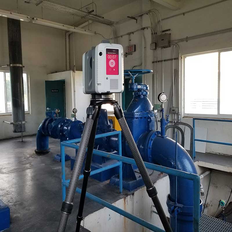
“Capturing 3D Reality at the push of a button”
We use independent data sets 3D Laser scanning to accurately measure interior and exterior spaces, and with preset ground controls (targets) in order to obtain georeferenced High Definition Surveys (HDS).
Laser scanners use 360º laser distance meter to capture thousands of points per second, including high definition panoramic imaging to create millimeter accuracy 3D point cloud of the space around it. Calibrated and processed point cloud become 3D models to be used in BIM and GIS applications. We perform HDS for infrastructure facilities that lack record information and for hard-to-reach areas and below grade utilities such as manholes, wells and drainage facilities. Customized key attributes are incorporated are delivered in compatible formats ready to be uploaded in client’s asset lists and GIS databases.