ALTA/NSPS Land Acquisition Surveys – Boundary Surveys – Facility Mapping.
It all starts with establishing boundaries.
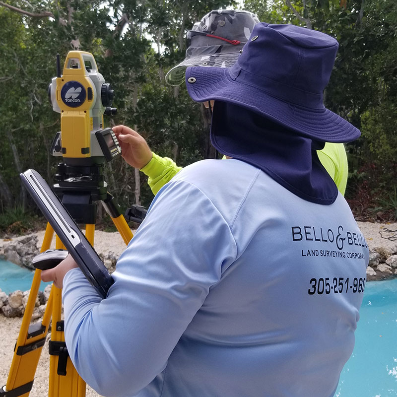
B&B is the surveyor to go to when boundaries are in question. We pride ourselves in assisting hundreds of clients with boundary issues and property lines concerns. We have experience in preparing ALTA/NSPS Standard Surveys and regular Boundary Surveys for platted, unplatted tracts, sectional acreage, wetlands, historical archeological sites, high risk commercial areas, parks, marinas, water boundary determinations (tidal/non tidal) vertical plane properties, commercial and residential properties.
In establishing the boundaries of a real property we carefully investigate existing land records, perform encumbrance report analysis and determine applicability of title issues. Most importantly we verify that the legal descriptions of record agree with the boundaries established in the field based on recovered monuments and occupational evidence. Boundary inconsistencies such as overlaps or gaps, excesses or deficiencies, conflicting monumentation, and or any doubts as to the location of the parcels is carefully evaluated, verified and notified to our clients.
We have the capability to map communities and industrial facilities for renovations, improvements, to document changes and to create emergency disaster plans. We use state-of- the-art 3D-ScannersWe have the right mapping solution for your survey needs. Among others, we perform the following types of surveys:
- ALTA/NSPS Surveys
- Boundary Surveys
- Acreage Surveys
- Volumetric Surveys
- Title-Mortgage Surveys
- Geodetic Control (Horizontal and Vertical Controls establishment)
- Right of Way Surveys
- Topographic – Grade Determination surveys
- Tree Location Surveys
- Geospatial Data Collection
- GIS Services
- 3D Modeling – 3D Rendering
- High Definition Surveys (HDS): Interior-Exterior
- 3D Laser Scanning and LiDAR Point Clouds Processing and Registration
- Construction related surveys
- Water- Wastewater – Utility Infrastructure Lay-Outs
- As-Built (Record) Surveys
- Lot Subdivision – Lot Split Surveys
- Plats (Waiver of Plats – Tentative and Final Plats)
- Drone (UAS) Surveys
- Disaster Monitoring
- Condominium Conversion Surveys – Interior measurements –
- Distance Surveys, Space Surveys and Radius Maps
- Legal Descriptions for Utility Easements, Cut-Out Parcels, Land Leases, Utility Corridors, Telecommunication Piping Corridors, Obstruction View, Aerial Corridors, and Boat Slip Parcels
- Legal Descriptions for Right of Way Dedications, Acquisitions, Road Closures and Alley Vacation
- Legal Descriptions for Full and Partial Easement Releases
- Title Review Services and Legal Instrument Examination
- Surveyor’s Affidavits
- Expert Witness Testimony
- Annexation Mapping