Photogrammetry: Aerial Mapping, Drone (UAS), LiDAR and Remote Sensing
We offer UAS and and/or vehicle-mounted spatial imaging systems integrated with GNSS technology for collection of highly accurate geospatial data that can be easily transformed into information-rich 3D models.
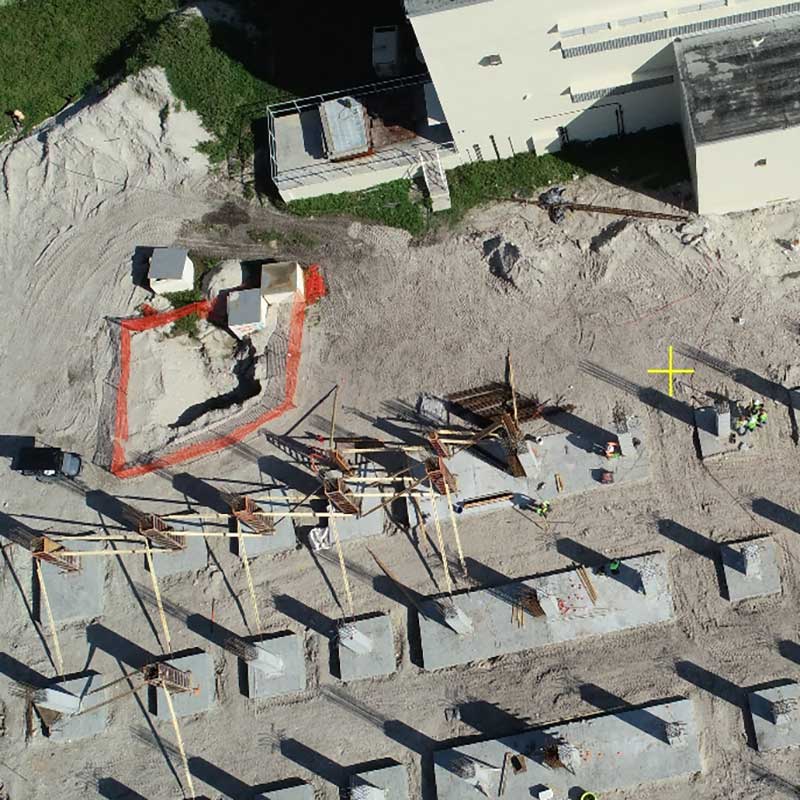
Drones provide a rapid solution for documenting the pace of construction, land development and utility installations. Our drone fleet is ready to monitor flooding after heavy rain and to assess damages after a hurricane or a tropical storm.
Drone captured high resolution orthoimagery is routinely combined with traditional data collection methods to map standard and oversized parcels, utility corridors, and difficult to access parcels. The use of UAS (drone) platform facilitates faster data collection and minimizes risk of personnel exposure to traffic in producing miles of utility design topographic surveys along right of ways.
Digitalization becomes easier and clients benefit from real time high resolution images of the surveyed lands. UAS mapping presents an enviable photogrammetric approach alternative to surveys in congested areas, and to bulkier and more expensive surveying techniques such as terrestrial laser scanners.
Photogrammetrically derived 3D Data collected can be shared on the cloud for BIM and GIS applications. Our aerial base mapping can be delivered in digital vector, point cloud and traditional hardcopy formats.